Kotmale Dam and Reservoir. Renamed: Kothmale Gamini Dissanayake Reservoir – By Dr Harold Gunatillake

 Location of the Dam
There are about 30,000 reservoirs in Sri Lanka of which the majority were built from the 3rd century BC to the 12th century. These were mainly constructed in the dry zone area- the Northern and Eastern part of the land an area of about 40,000 sq. kilometers (where almost all the tanks are located), These reservoirs were essential in these areas to collect rainwater from the streams for irrigation purposes.
During the present century, such reservoirs with a dam were constructed to collect the streaming water not only for irrigation purposes but with the objective of generating hydropower. Kotmale Dam construction with a view to generating hydropower began in August 1979, and ceremoniously opened in February 1985 and was renamed the Gamini Dissanayake Reservoir on 11 April 2003 following a request by the then Prime Minister Ranil Wickremasinghe.
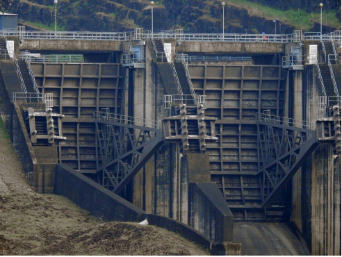 Closeup view of the spillway
This power station is unique as it was built underground and located at the Atabage mountain range. It has the capability of generating approximately about 67 MW turbines and providing power to the national grid. This is the second-largest hydroelectric power station in Sri Lanka.
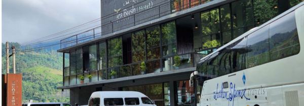
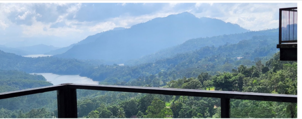
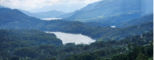
The hydro reservoir capacity is 174 million cubic meters. The net head of the project is 190m. Best panoramic view of the Dam from the Ramboda Oak Ray Tea Bush
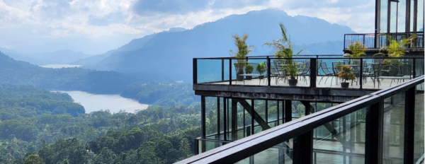 View of the Dam from Tea Bush deck
 Closeup view
 Closeup view