eLanka
Thursday, 30 Jul 2026
Home
Read History
Articles
eLanka Journalists
Events
Useful links
Obituaries
Seeking to Contact
eLanka Newsletters
Weekly Events and Advertisements
eLanka Testimonials
Sri Lanka Newspapers
Sri Lanka TV LIVE
Sri Lanka Radio
eLanka Recepies
Gallery
Contact
Newsletter
eLanka Weddings
Property
eLanka Shop
Business Directory
Search
Home
Read History
Articles
eLanka Journalists
Events
Useful links
Obituaries
Seeking to Contact
eLanka Newsletters
Weekly Events and Advertisements
eLanka Testimonials
Sri Lanka Newspapers
Sri Lanka TV LIVE
Sri Lanka Radio
eLanka Recepies
Gallery
Contact
Follow US
Arundathie Abeysinghe
Articles
Arundathie Abeysinghe
June 30, 2022
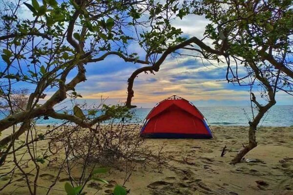
Baththalangunduwa Island – ideal destination for beach camping – By Arundathie Abeysinghe
Articles
Arundathie Abeysinghe
June 22, 2022
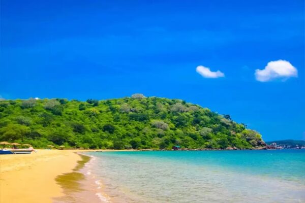
Marble Beach – a pristine beach in a sheltered bay By Arundathie Abeysinghe
Articles
Arundathie Abeysinghe
June 15, 2022
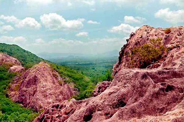
Rose quartz mountain range – largest in Asia By Arundathie Abeysinghe
Articles
Arundathie Abeysinghe
June 12, 2022
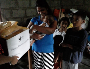
Commendable endeavor from Elanka Donate a grocery pack to a poor family in Sri Lanka -Arundathie Abeysinghe
Articles
Arundathie Abeysinghe
June 9, 2022
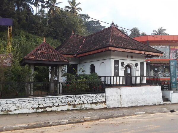
Kegalle Jubilee Ambalama – commemoration of a Jubilee – By Arundathie Abeysinghe
Arundathie Abeysinghe
June 3, 2022
Kadadora Viharaya – spectacular vistas of drought By Arundathie Abeysinghe
Articles
Arundathie Abeysinghe
May 26, 2022
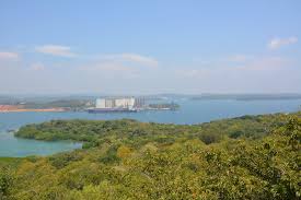
Sober Island – enchanting islet in Trincomalee By Arundathie Abeysinghe
Articles
Arundathie Abeysinghe
May 19, 2022
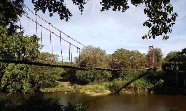
Kunchikulam Suspension Bridge – rare structure in the wilderness By Arundathie Abeysinghe
Articles
Arundathie Abeysinghe
May 12, 2022
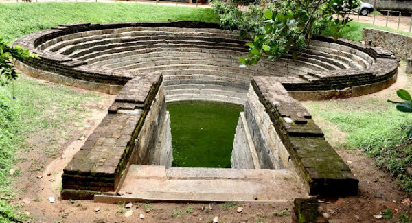
“Yathuru Pokuna” – amazing craftsmanship of Anuradhapura era By Arundathie Abeysinghe
Articles
Arundathie Abeysinghe
May 6, 2022
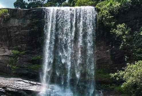
Meeyan Ella – spectacular waterfall with a history By Arundathie Abeysinghe
Articles
Arundathie Abeysinghe
April 29, 2022
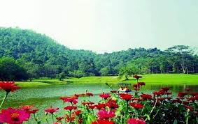
Hidden Eden in Seethawaka – treasure trove of nature By Arundathie Abysinghe
Articles
Arundathie Abeysinghe
February 7, 2024
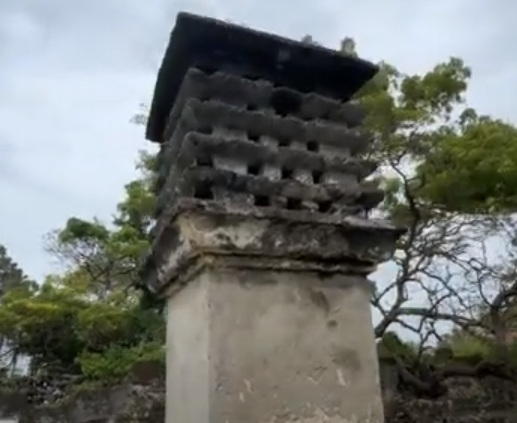
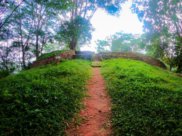
Pigeons Nest – protected monument in Delft Island By Arundathie Abeysinghe
Articles
Arundathie Abeysinghe
February 7, 2024
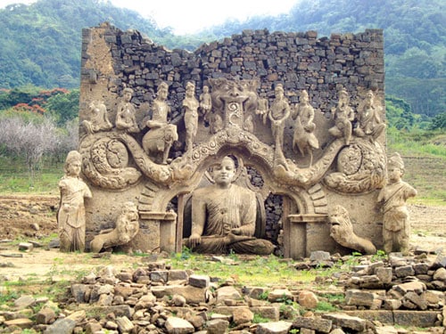
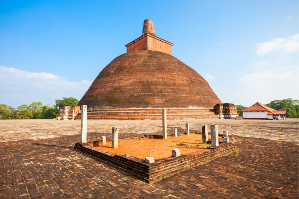
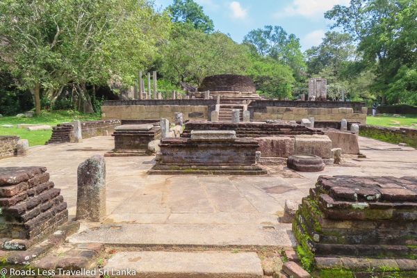
Buddhist Railing at Jetawana Monastery – unique structure of yesteryear By Arundathie Abeysinghe
Articles
Arundathie Abeysinghe
April 9, 2022
Balana Fort – strategic rock fortress in Kandyan hills By Arundathie Abeysinghe
Articles
Arundathie Abeysinghe
March 31, 2022
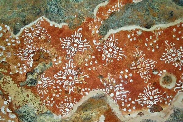
Pre-historic cave murals in Kotiyagala By Arundathie Abeysinghe
Articles
Arundathie Abeysinghe
March 25, 2022
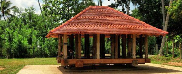
Panavitiya Ambalama – paradigm of Sri Lankan architecture By Arundathie Abeysinghe
Articles
Arundathie Abeysinghe
March 18, 2022
Tunneled history of Kotte Kingdom By Arundathie Abeysinghe
Articles
Arundathie Abeysinghe
March 12, 2022
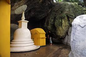
Rock-hewn Buddha Statue of Dowa Cave Temple By Arundathie Abeysinghe
Articles
Arundathie Abeysinghe
March 3, 2022
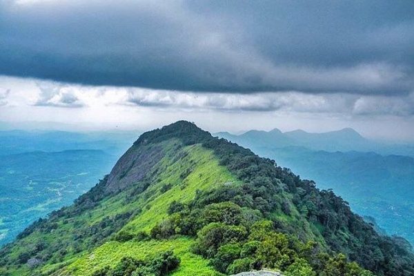
Alagalla Mountain Range – defense location of yesteryear By Arundathie Abeysinghe
Articles
Arundathie Abeysinghe
February 23, 2022
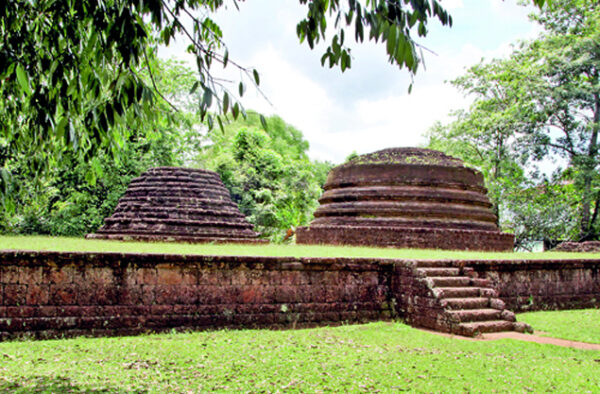
Hatthikucchi Viharaya – ruined ancient temple complex framed by rock boulders By Arundathie Abeysinghe
1
2
…
4
5
6
7
8
…
11
12