eLanka
Sunday, 26 Jul 2026
Home
Read History
Articles
eLanka Journalists
Events
Useful links
Obituaries
Seeking to Contact
eLanka Newsletters
Weekly Events and Advertisements
eLanka Testimonials
Sri Lanka Newspapers
Sri Lanka TV LIVE
Sri Lanka Radio
eLanka Recepies
Gallery
Contact
Newsletter
eLanka Weddings
Property
eLanka Shop
Business Directory
Search
Home
Read History
Articles
eLanka Journalists
Events
Useful links
Obituaries
Seeking to Contact
eLanka Newsletters
Weekly Events and Advertisements
eLanka Testimonials
Sri Lanka Newspapers
Sri Lanka TV LIVE
Sri Lanka Radio
eLanka Recepies
Gallery
Contact
Follow US
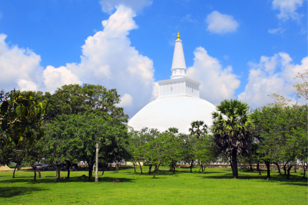
Malwathu Oya
Ama H.Vanniarachchy
Articles
May 31, 2026
Anuradhapura: The City of Anuradha (Part I) – By Ama H. Vanniarachchy
Articles
October 13, 2024
Breathtaking Scenery as Far as the Eye Can See- By Risidra Mendis
Articles
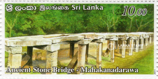
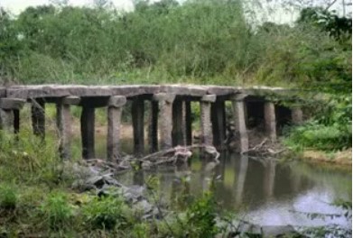
Arundathie Abeysinghe
August 31, 2022
Mahakanadarawa Stone Bridge – skilled craftsmanship of yesteryear By Arundathie Abeysinghe
Articles
Michael Roberts
August 12, 2022
Roads and Bridges in Ancient Sri Lanka-by Michael Roberts
Articles
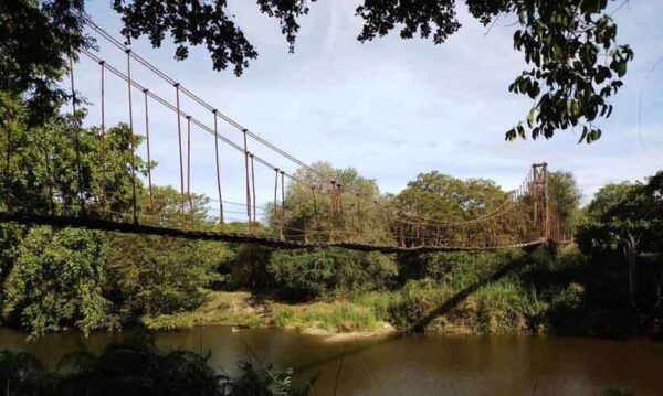
Arundathie Abeysinghe
May 19, 2022
Kunchikulam Suspension Bridge – rare structure in the wilderness By Arundathie Abeysinghe
Articles
October 16, 2021
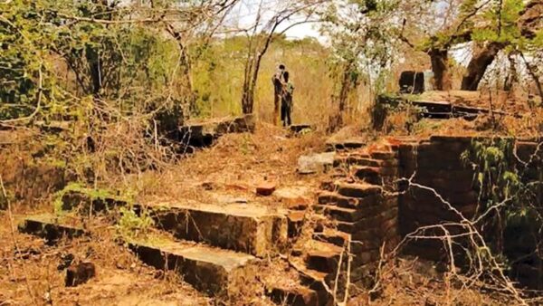
No protection for archaeological monuments hidden in the Willpattu forest cover-BY NIMAL WIJESINGHE